Displaying Maps
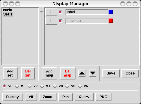
You might want to begin with the gui display manager, d.dm, which facilitates the choice and display of maps, and thus makes life easier for those not too comfortable with the individual commands.
Other than that, maps can be displayed with the d.* display commands (for which d.dm is just a frontend), such as:
d.vect.area for filled vector areas
d.rgb to combine three raster map layers (with a grey-scale color map) to form a color (Red, Green, Blue) image
Colors
GRASS offers two ways of chosing colors, either by using the standard color names (red, orange, yellow, green, blue, indigo, white, black, brown, magenta, aqua, gray, grey) or by indicating R:G:B triplets (values between 0 and 255 of red, green and blue), thus allowing TrueColor support. (NOTE: In GRASS 5.0 TrueColor support is available for some display commands only. From version 5.3 on it is available in almost all the core display modules.)
Scripting the display of maps (and frames)
When you have to repeat all the commands above, it is easier to have them in a script file instead of retyping them every time. You can create such a script file yourself in any text editor, but GRASS also offers you the possibility to use d.save to write the commands that led to the current monitor content into a script file. This allows you to test a layout on your screen command by command, and then, once you are satisfied, to save this layout into a file. This is especially useful for cartography (see Part XIII in Grass Tutorial).