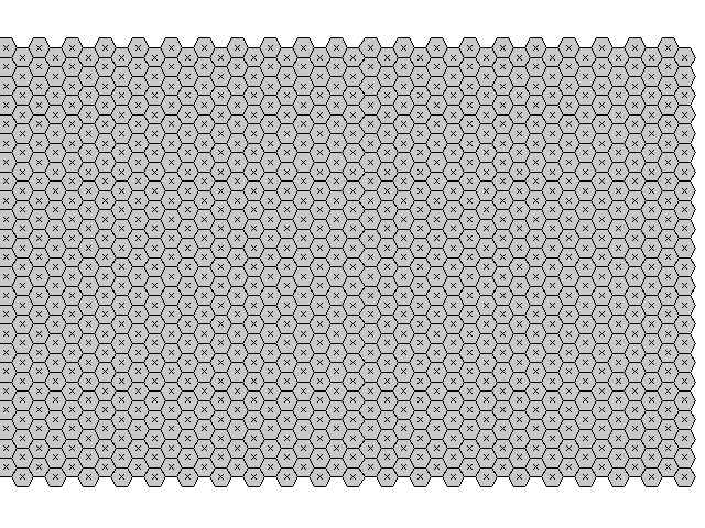
Hexagon grid map
Note: This document is for an older version of GRASS GIS that is outdated. You should upgrade, and read the current addon manual page.

v.mkhexgrid hexagon regionname=ortho_2001_t792_1m_seg \
            sidelength=400 hexarea=2000

Last changed: $Date: 2014-04-05 09:40:37 -0700 (Sat, 05 Apr 2014) $
Main index - vector index - Full index
© 2003-2014 GRASS Development Team