Note: This document is for an older version of GRASS GIS that will be discontinued soon. You should upgrade, and read the current manual page.
Note: This addon document is for an older version of GRASS GIS that will be discontinued soon. You should upgrade your GRASS GIS installation, and read the current addon manual page.
NAME
r.centroids - Creates vector map of centroids from raster of "clumps".KEYWORDS
raster, centroid, clumps, vector, centerpointSYNOPSIS
Flags:
- --overwrite
- Allow output files to overwrite existing files
- --help
- Print usage summary
- --verbose
- Verbose module output
- --quiet
- Quiet module output
- --ui
- Force launching GUI dialog
Parameters:
- input=name [required]
- Raster map of clumps, clusters of same-valued pixels
- output=name [required]
- Name for output vector map
Table of contents
DESCRIPTION
r.centroids is a wrapper function for r.volume that computes the center point of raster clumps of data (neighboring, same-valued pixels). The centroids will always fall within the clump so they may not be the true, mathematical centroid. The centroids will always fall at the center of a pixel.
r.centroids requires an input raster containing clumps of data such as the output of r.clump.
EXAMPLES
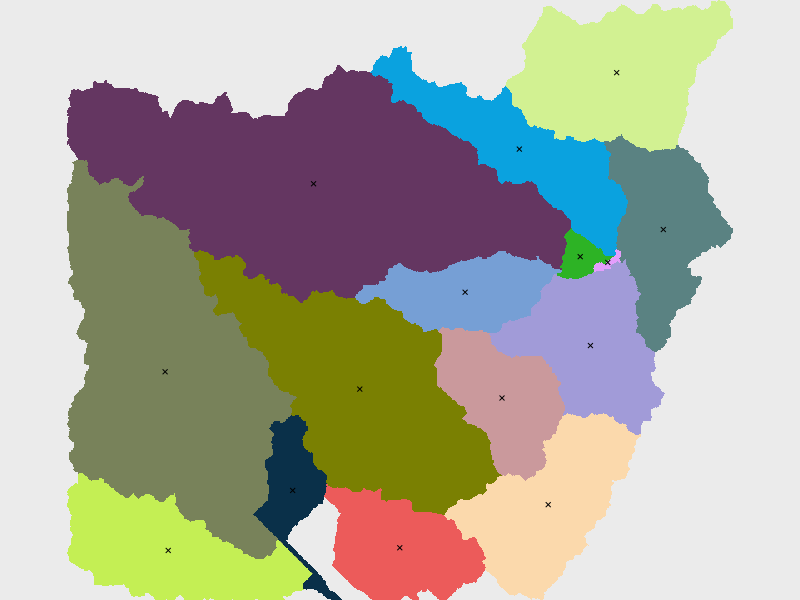
Find the centroids of the basins map (North Carolina sample dataset). First, set computational area.g.region raster=basin_50K
r.centroids input=basin_50K output=centroids50K
SEE ALSO
r.volume r.clumpAUTHOR
Caitlin Haedrich, Center for Geospatial Analytics, North Carolina State University, January, 2021.SOURCE CODE
Available at: r.centroids source code (history)
Latest change: Monday Jun 28 07:54:09 2021 in commit: 1cfc0af029a35a5d6c7dae5ca7204d0eb85dbc55
Note: This document is for an older version of GRASS GIS that will be discontinued soon. You should upgrade, and read the current manual page.
Note: This addon document is for an older version of GRASS GIS that will be discontinued soon. You should upgrade your GRASS GIS installation, and read the current addon manual page.
Main index | Raster index | Topics index | Keywords index | Graphical index | Full index
© 2003-2023 GRASS Development Team, GRASS GIS 7.8.9dev Reference Manual