Note: A new GRASS GIS stable version has been released: GRASS GIS 7.6, available here.
Updated manual page: here
Graphical index of GRASS GIS modules
Go to imagery introduction | topics
Imagery modules:
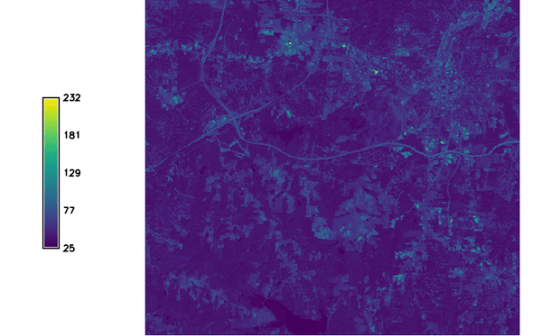 i.albedo Computes broad band albedo from surface reflectance.
 i.aster.toar Calculates Top of Atmosphere Radiance/Reflectance/Brightness Temperature from ASTER DN.
- i.atcorr Performs atmospheric correction using the 6S algorithm.
- i.biomass Computes biomass growth, precursor of crop yield calculation.
- i.cca Canonical components analysis (CCA) program for image processing.
 i.cluster Generates spectral signatures for land cover types in an image using a clustering algorithm.
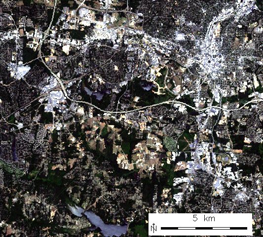 i.colors.enhance Performs auto-balancing of colors for RGB images.
- i.eb.eta Actual evapotranspiration for diurnal period (Bastiaanssen, 1995).
- i.eb.evapfr Computes evaporative fraction and root zone soil moisture.
- i.eb.hsebal01 Computes sensible heat flux iteration SEBAL 01.
- i.eb.netrad Net radiation approximation (Bastiaanssen, 1995).
- i.eb.soilheatflux Soil heat flux approximation (Bastiaanssen, 1995).
- i.emissivity Computes emissivity from NDVI, generic method for sparse land.
- i.evapo.mh Computes evapotranspiration calculation modified or original Hargreaves formulation, 2001.
- i.evapo.pm Computes potential evapotranspiration calculation with hourly Penman-Monteith.
- i.evapo.pt Computes evapotranspiration calculation Priestley and Taylor formulation, 1972.
- i.evapo.time Computes temporal integration of satellite ET actual (ETa) following the daily ET reference (ETo) from meteorological station(s).
- i.fft Fast Fourier Transform (FFT) for image processing.
- i.gensig Generates statistics for i.maxlik from raster map.
- i.gensigset Generates statistics for i.smap from raster map.
- i.group Creates, edits, and lists groups of imagery data.
- i.his.rgb Transforms raster maps from HIS (Hue-Intensity-Saturation) color space to RGB (Red-Green-Blue) color space.
- i.ifft Inverse Fast Fourier Transform (IFFT) for image processing.
- i.image.mosaic Mosaics several images and extends colormap.
- i.in.spotvgt Imports SPOT VGT NDVI data into a raster map.
- i.landsat.acca Performs Landsat TM/ETM+ Automatic Cloud Cover Assessment (ACCA).
- i.landsat.toar Calculates top-of-atmosphere radiance or reflectance and temperature for Landsat MSS/TM/ETM+/OLI
 i.maxlik Classifies the cell spectral reflectances in imagery data.
- i.modis.qc Extracts quality control parameters from MODIS QC layers.
- i.oif Calculates Optimum-Index-Factor table for spectral bands
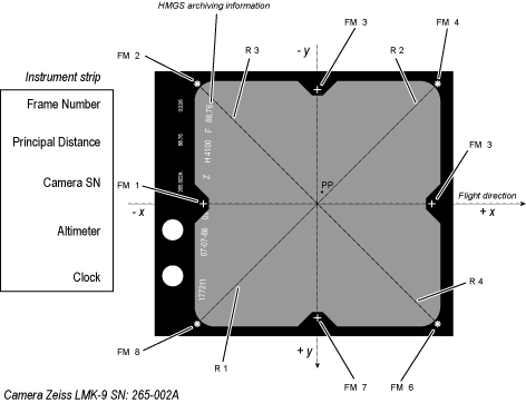 i.ortho.camera Select and modify the imagery group camera reference file.
- i.ortho.elev Select or modify the target elevation model.
- i.ortho.rectify Orthorectifies an image by using the image to photo coordinate transformation matrix.
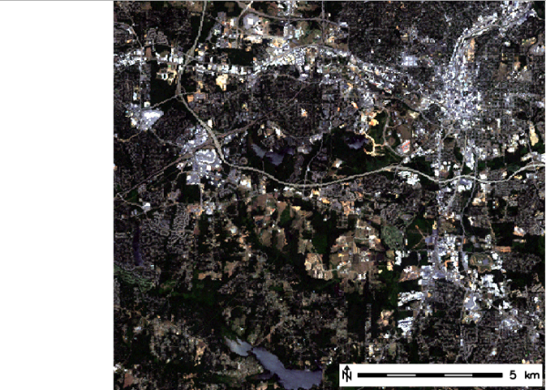
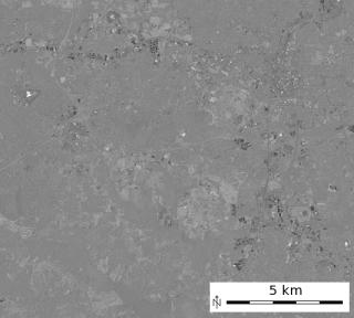
 i.pansharpen Image fusion algorithms to sharpen multispectral with high-res panchromatic channels
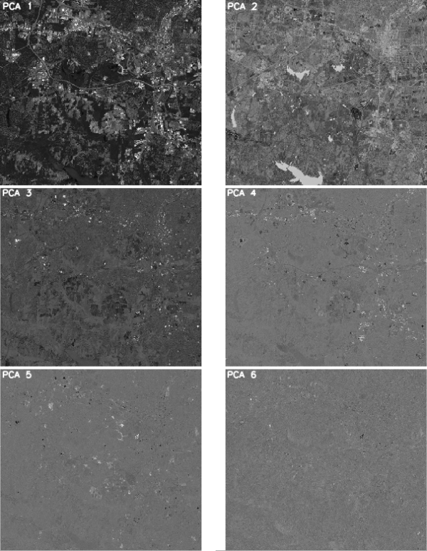 i.pca Principal components analysis (PCA) for image processing.
- i.rectify Rectifies an image by computing a coordinate transformation for each pixel in the image based on the control points.
- i.rgb.his Transforms raster maps from RGB (Red-Green-Blue) color space to HIS (Hue-Intensity-Saturation) color space.
 i.segment Identifies segments (objects) from imagery data.
- i.smap Performs contextual image classification using sequential maximum a posteriori (SMAP) estimation.
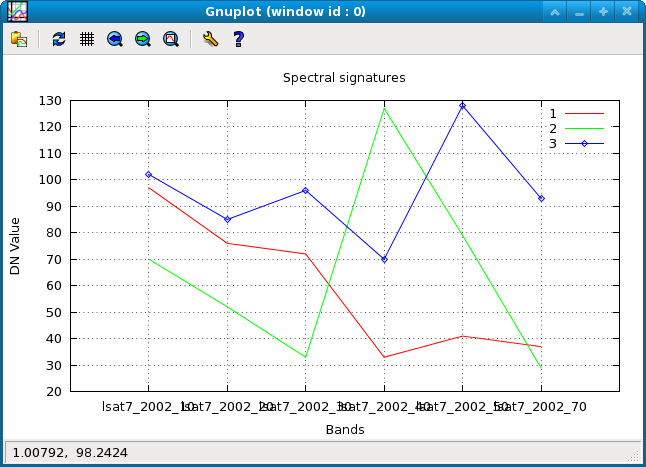 i.spectral Displays spectral response at user specified locations in group or images.
- i.target Targets an imagery group to a GRASS location and mapset.
 i.tasscap Performs Tasseled Cap (Kauth Thomas) transformation.
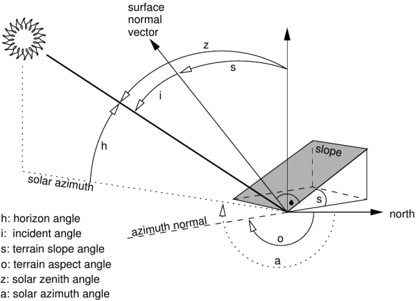 i.topo.corr Computes topographic correction of reflectance.
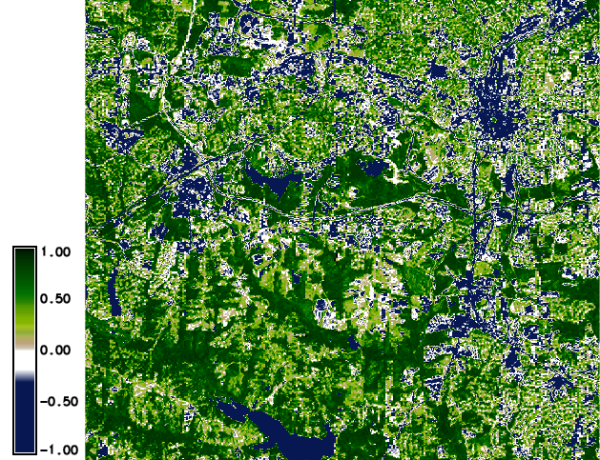 i.vi Calculates different types of vegetation indices.
- i.zc Zero-crossing "edge detection" raster function for image processing.
Note: A new GRASS GIS stable version has been released: GRASS GIS 7.6, available here.
Updated manual page: here
Main index | Topics index | Keywords index | Graphical index | Full index
© 2003-2019 GRASS Development Team, GRASS GIS 7.2.4svn Reference Manual