Note: A new GRASS GIS stable version has been released: GRASS GIS 7.6, available here.
Updated manual page: here
GRASS GIS manual gallery
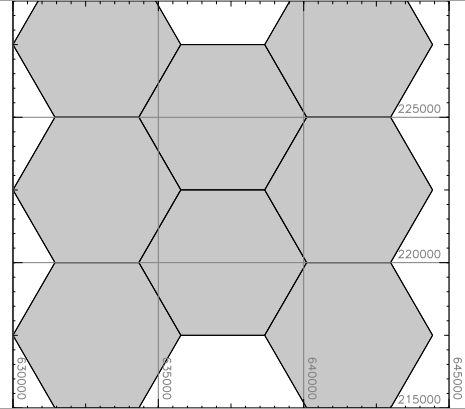 v.mkgrid
 r.terraflow
 wxGUI.toolboxes
 wxGUI.gmodeler
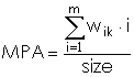 r.li.mpa
 r.viewshed
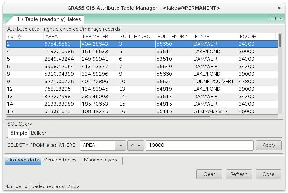 wxGUI.dbmgr
 r.texture
 v.lidar.edgedetection
 r.stream.extract
 r3.to.rast
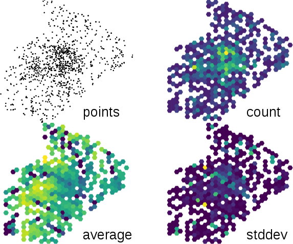 v.vect.stats
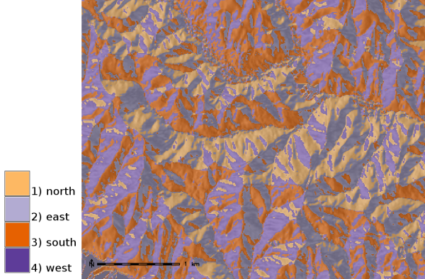 r.slope.aspect
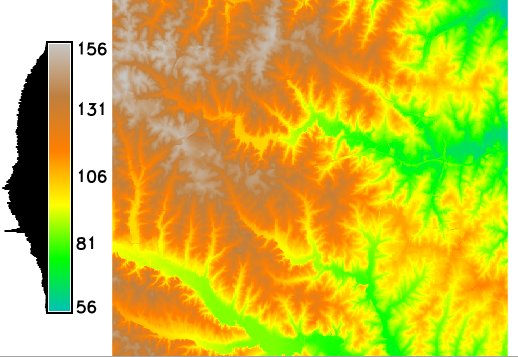 d.legend
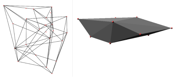 v.hull
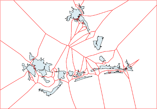 v.voronoi
 r.slope.aspect
 wxGUI.iclass
 v.overlay
 v.qcount
 v.overlay
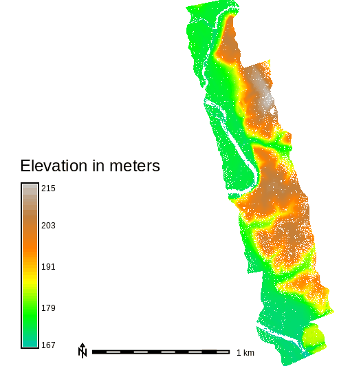 r.in.lidar
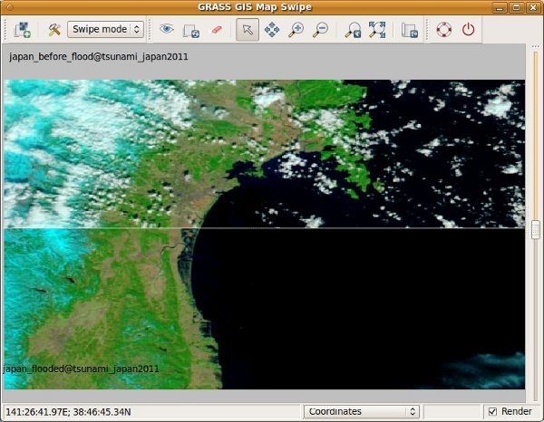 wxGUI.mapswipe
 d.to.rast
 r3.out.ascii
 i.vi
i.vi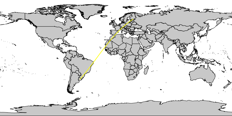 d.rhumbline
 r.stream.extract
 v.cluster
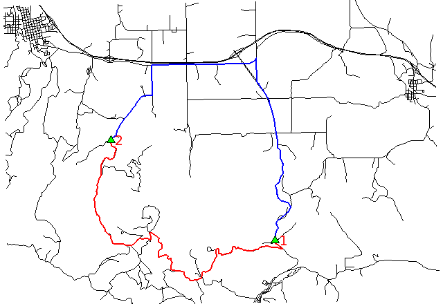 v.net.path
 v.buffer
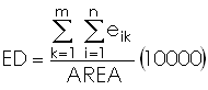 r.li.edgedensity
 r.lake
 d.rast
 wxGUI.gcp
 v.net.iso
 v.random
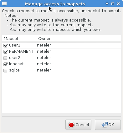 g.mapsets
 v.random
 i.colors.enhance
 wxGUI.gmodeler
 v.buffer
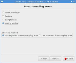 wxGUI.rlisetup
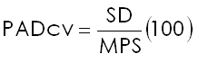 r.li.padcv
 r.grow.distance
 wxGUI.gmodeler
 r.random.cells
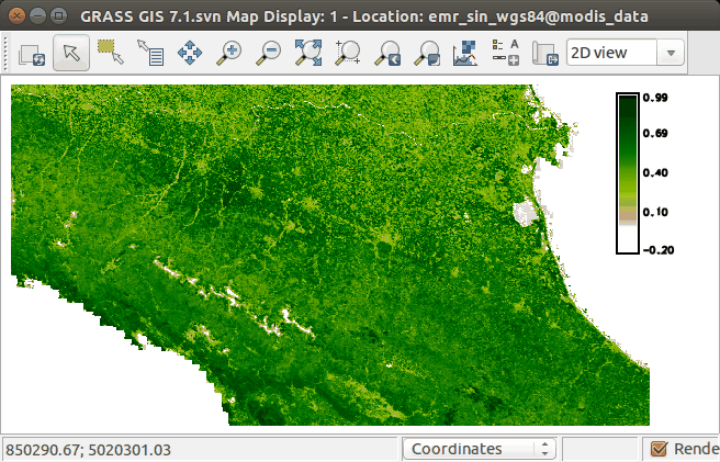 wxGUI.gmodeler
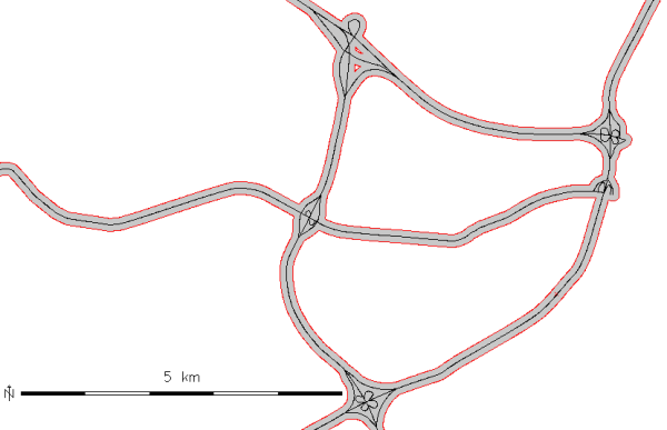 v.buffer
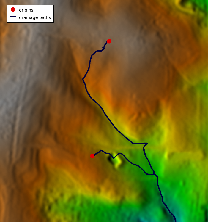 r.drain
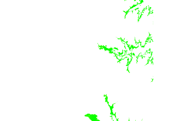 d.rast
 grass_database
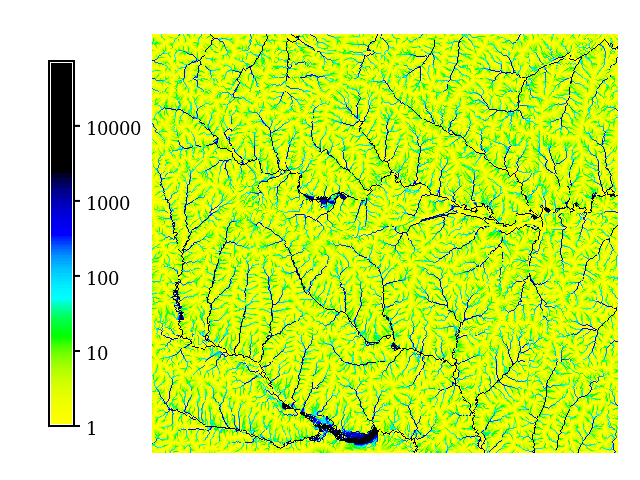 d.legend
 wxGUI.psmap
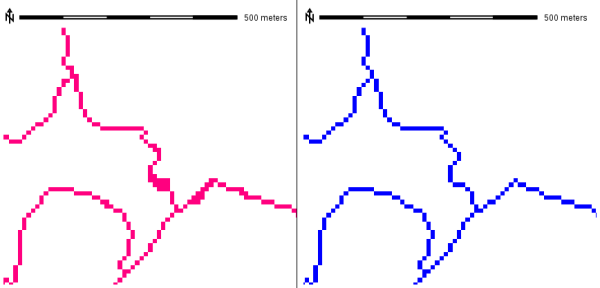 r.thin
 v.random
 v.delaunay
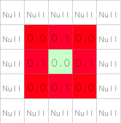 r.slope.aspect
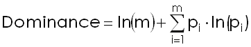 r.li.dominance
 d.rast.edit
 v.net.distance
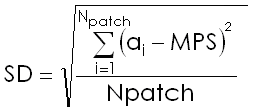 r.li.padcv
 d.mon
d.mon wxGUI.gmodeler
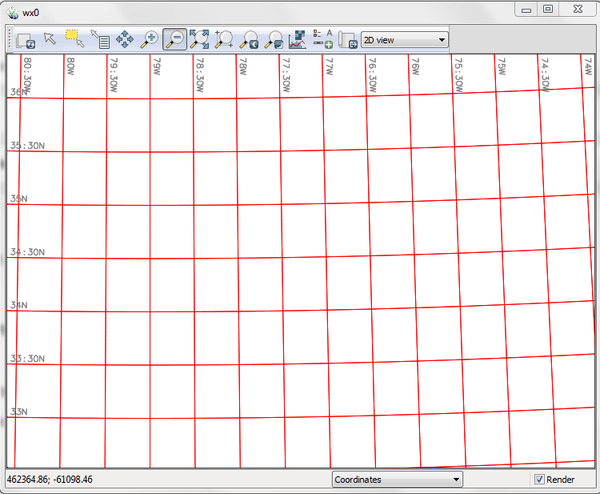 d.grid
 r.slope.aspect
 v.generalize
 r.to.rast3
 v.overlay
 i.maxlik
 wxGUI.modules
 r.li.edgedensity
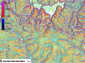 r.slope.aspect
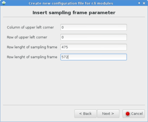 wxGUI.rlisetup
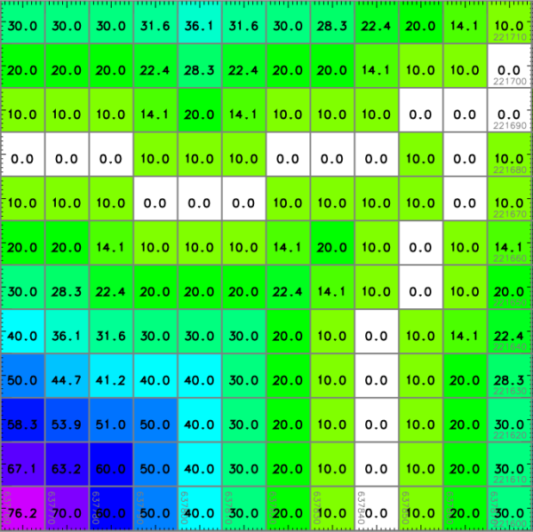 d.rast.num
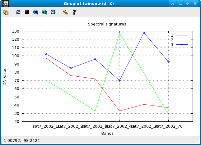 i.spectral
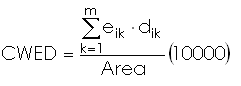 r.li.cwed
 wxGUI.gmodeler
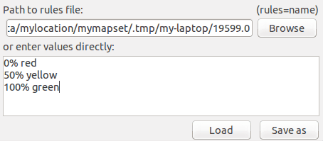 wxGUI.modules
 v.qcount
 wxGUI.gmodeler
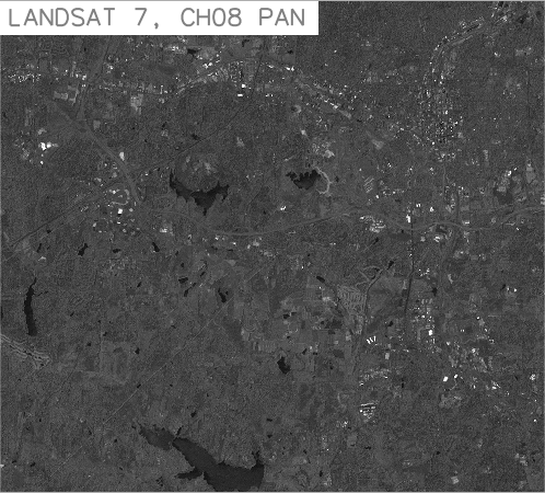 i.segment
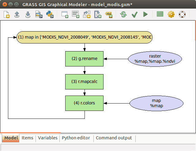 wxGUI.gmodeler
 v.buffer
 v.decimate
 r.stream.extract
 r.resamp.interp
 v.segment
 i.vi
i.vi r.flow
 v.buffer
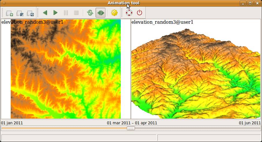 wxGUI.animation
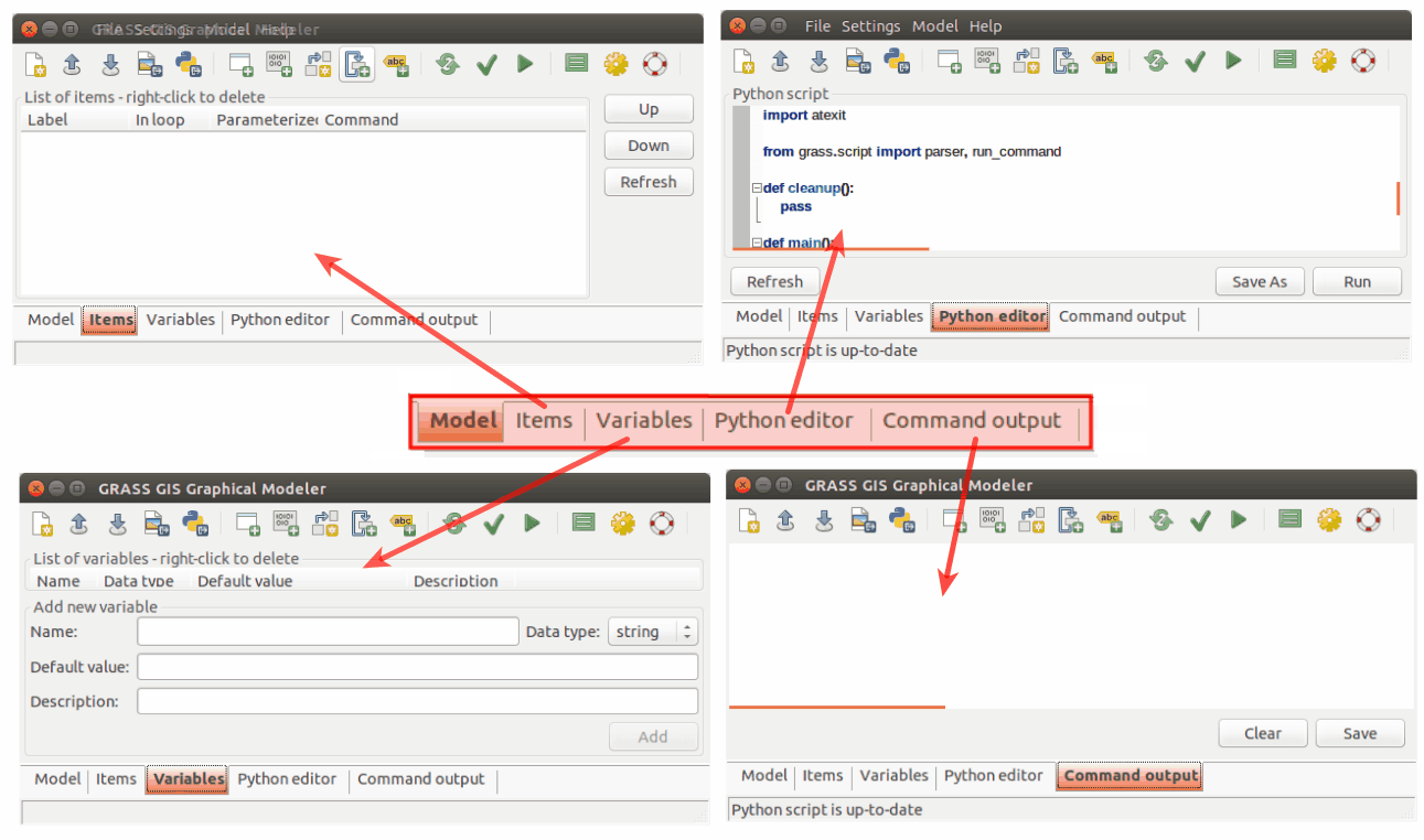 wxGUI.gmodeler
 v.buffer
 v.select
 r.univar
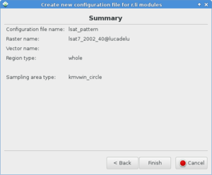 wxGUI.rlisetup
 r.in.lidar
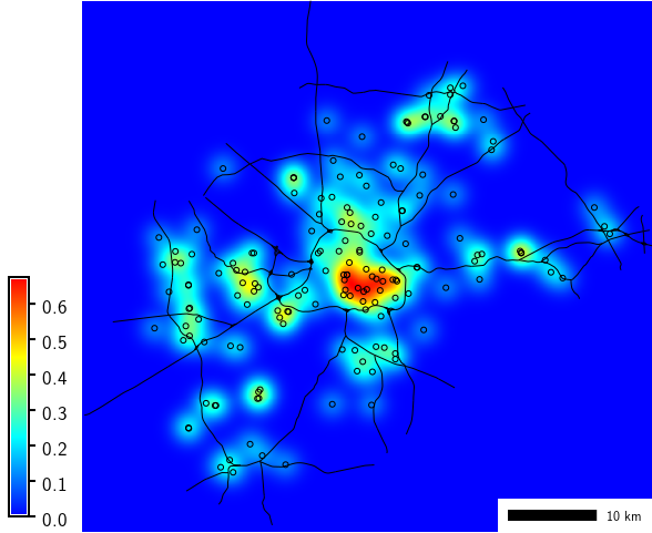 v.kernel
 v.net.steiner
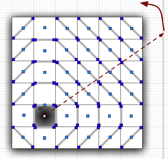 r.viewshed
 v.random
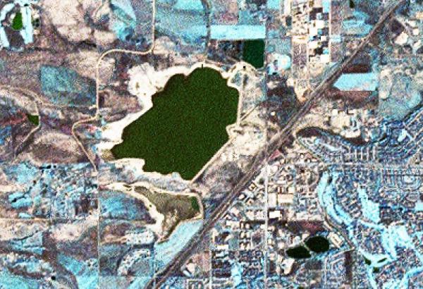 i.pansharpen
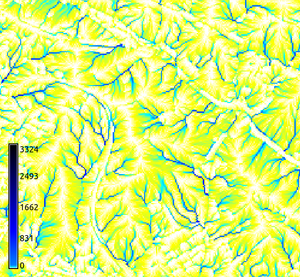 r.flow
 d.vect.chart
 v.segment
 d.frame
 v.overlay
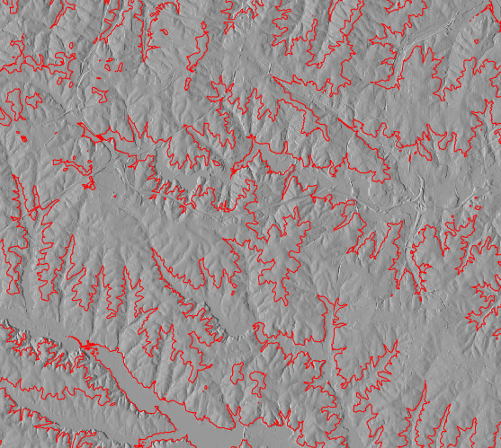 r.contour
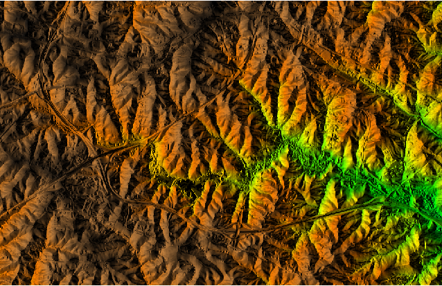 d.shade
 r.buffer
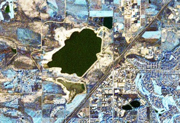 i.pansharpen
 wxGUI.gmodeler
 v.voronoi
 v.net.iso
 r.rgb
r.rgb r.sunhours
 d.histogram
 v.net.alloc
 v.select
 r.carve
 wxGUI
wxGUI i.tasscap
 r.li.richness
 i.albedo
 v.select
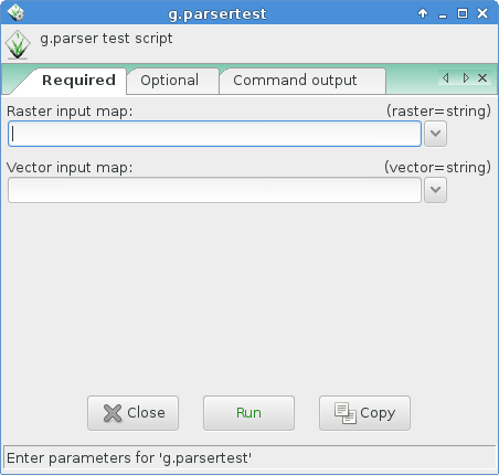 g.parser
 wxGUI.modules
 v.buffer
 i.segment
 wxGUI.gmodeler
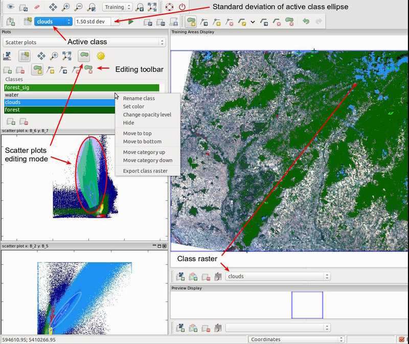 wxGUI.iscatt
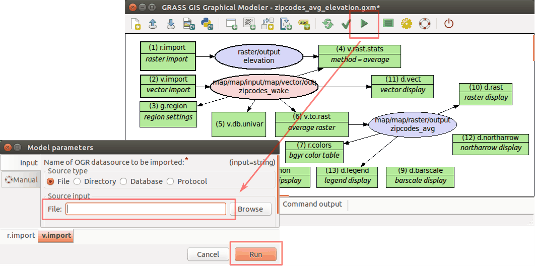 wxGUI.gmodeler
 r.topidx
 r.horizon
 r.surf.fractal
 i.pca
i.pca r.carve
 wxGUI.gmodeler
 wxGUI.gmodeler
 v.net.salesman
 v.voronoi
 v.qcount
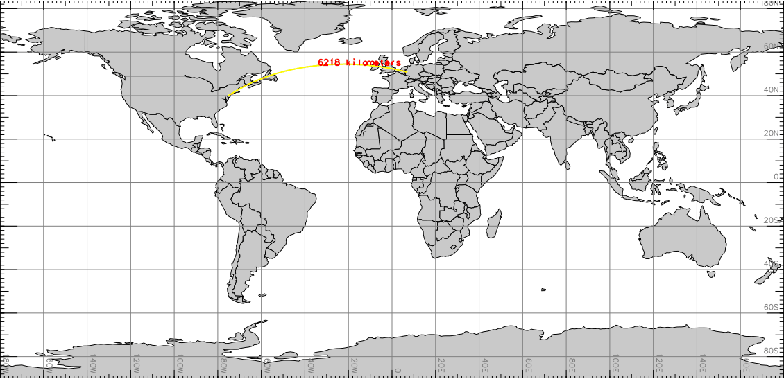 m.measure
 r.carve
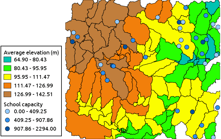 d.vect.thematic
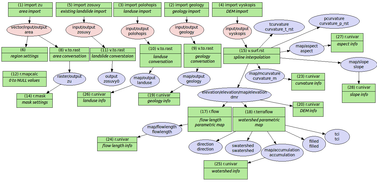 wxGUI.gmodeler
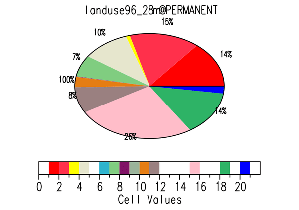 d.histogram
 wxGUI
wxGUI i.cluster
 r.li.pielou
 wxGUI.nviz
 i.maxlik
 d.rast.arrow
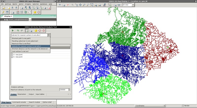 wxGUI.vnet
 v.select
 v.select
 v.net.alloc
 v.buffer
 v.net.steiner
 r.resamp.interp
 d.legend.vect
 v.random
 v.overlay
 v.segment
 v.qcount
 v.overlay
 wxGUI.gmodeler
 wxGUI.gmodeler
 v.buffer
 wxGUI.rlisetup
 v.perturb
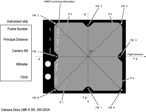 i.ortho.camera
 wxGUI.gmodeler
 v.net.alloc
 v.net.visibility
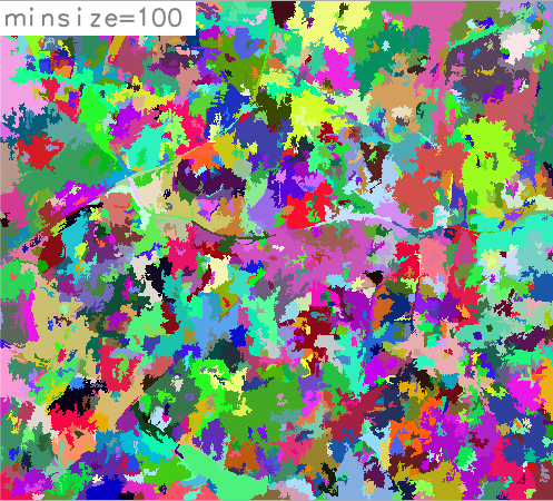 i.segment
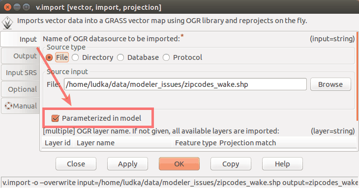 wxGUI.gmodeler
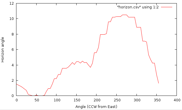 r.horizon
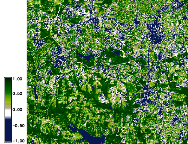 i.vi
i.vi wxGUI.nviz
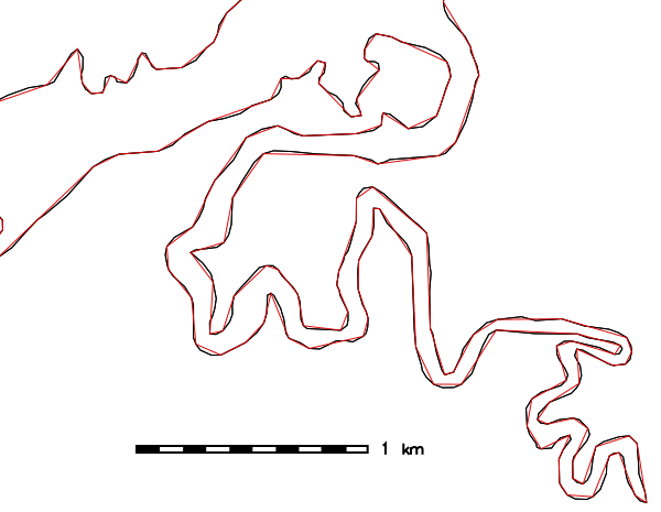 v.generalize
 r.li.padrange
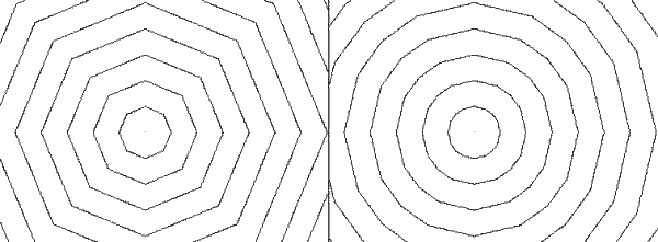 r.cost
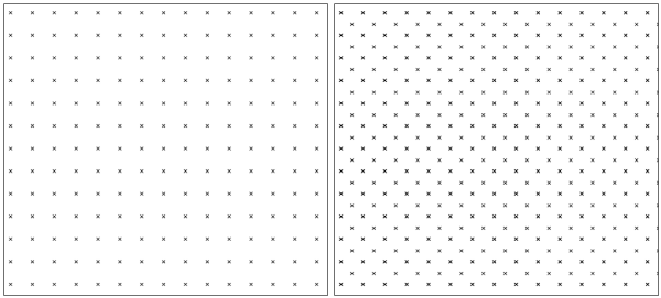 v.mkgrid
 wxGUI.rlisetup
 r.in.lidar
 i.segment
 i.maxlik
 v.select
 v.net.alloc
 v.overlay
 v.perturb
 r.water.outlet
 d.mon
d.mon r.in.lidar
 v.overlay
 wxGUI.tplot
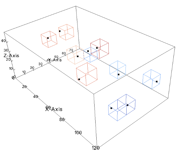 v.to.rast3
 wxGUI.modules
 r.sim.water
 wxGUI.gmodeler
 wxGUI.vdigit
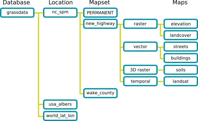 grass_database
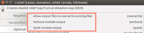 wxGUI.modules
 r3.flow
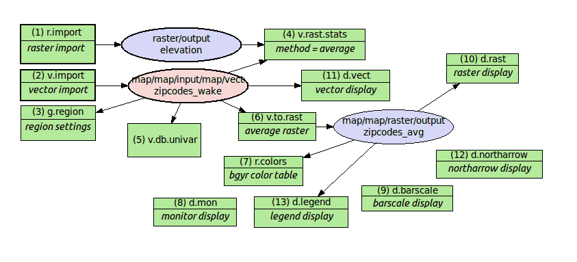 wxGUI.gmodeler
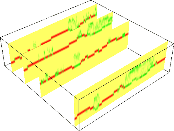 r3.in.lidar
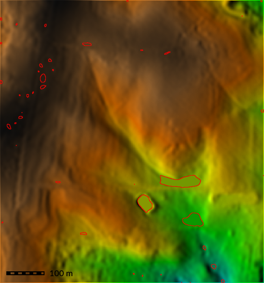 r.fill.dir
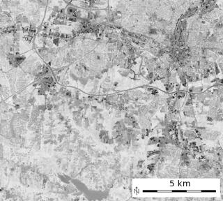 i.tasscap
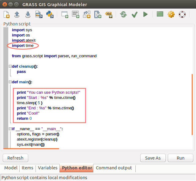 wxGUI.gmodeler
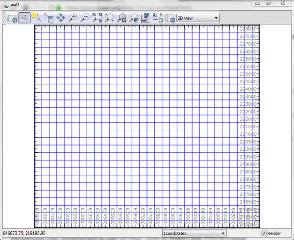 d.grid
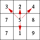 r.terraflow
 r.param.scale
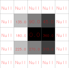 r.slope.aspect
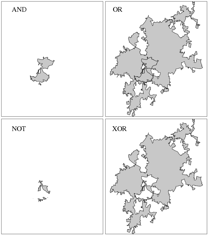 v.overlay
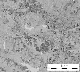 i.tasscap
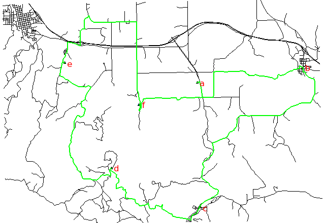 v.net.salesman
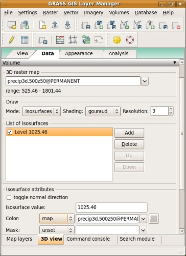 wxGUI.nviz
 wxGUI.nviz
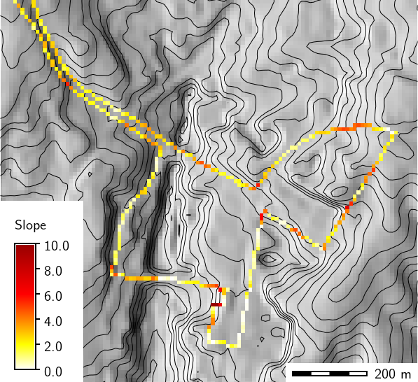 v.to.rast
 v.segment
 r.grow.distance
 v.decimate
 wxGUI.dbmgr
 wxGUI.gmodeler
 wxGUI.gmodeler
 v.select
 v.clean
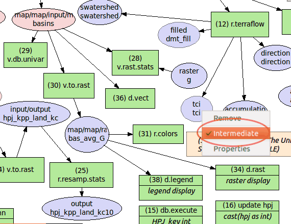 wxGUI.gmodeler
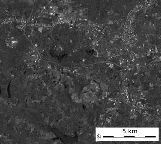 i.tasscap
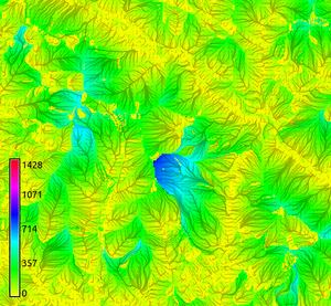 r.flow
 wxGUI.gmodeler
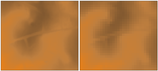 r.resamp.stats
 r.terraflow
 r.slope.aspect
 wxGUI.gmodeler
 wxGUI.gmodeler
 r.to.rast3elev
 v.qcount
 r.li.padsd
 wxGUI.gmodeler
 i.colors.enhance
 d.vect.chart
 wxGUI.gmodeler
 wxGUI.rlisetup
 r.li.renyi
 wxGUI.rlisetup
 r.in.lidar
 v.decimate
 r.li.simpson
 wxGUI.gmodeler
 d.rgb
d.rgb wxGUI.nviz
 r.surf.gauss
 r.stream.extract
 r.carve
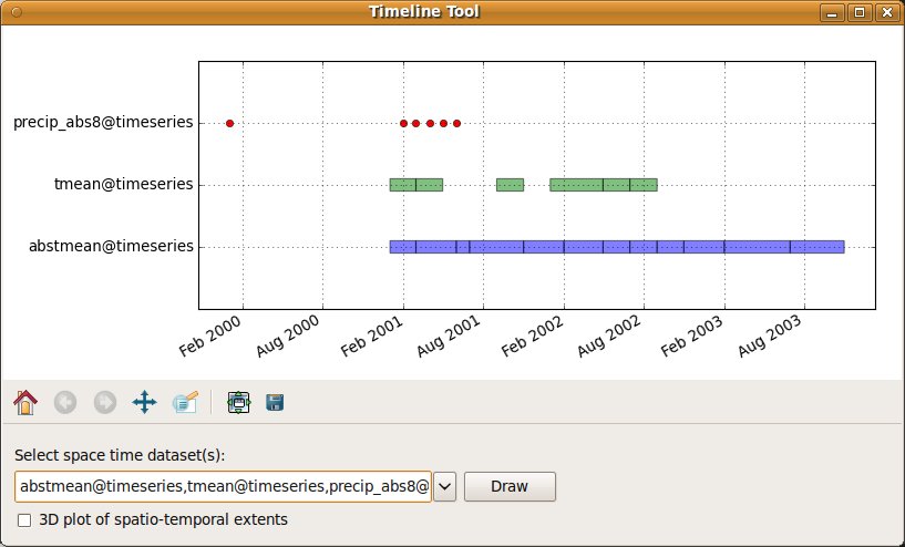 wxGUI.timeline
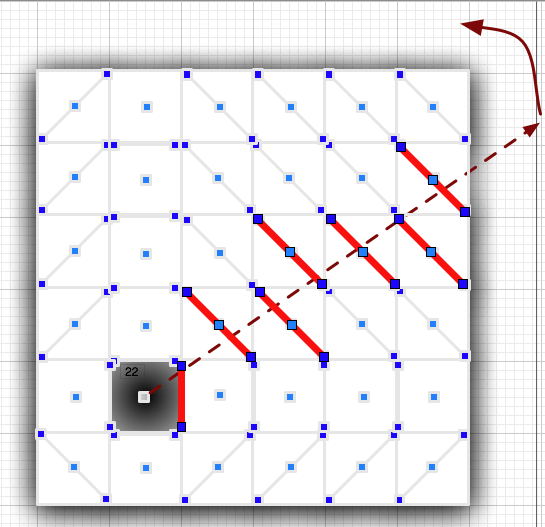 r.viewshed
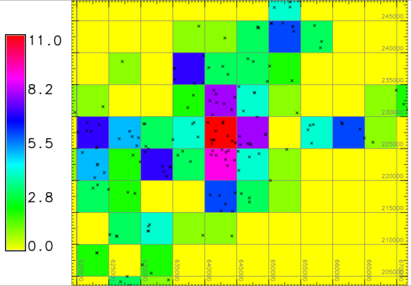 v.to.rast
 wxGUI.gmodeler
 wxGUI.gmodeler
 i.albedo
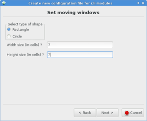 wxGUI.rlisetup
 v.overlay
 d.geodesic
 wxGUI.rlisetup
 wxGUI.nviz
 d.vect.chart
 i.segment
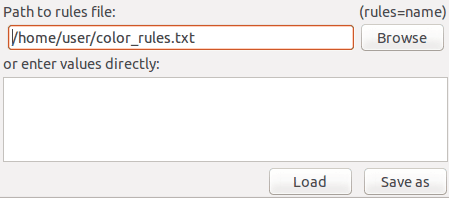 wxGUI.modules
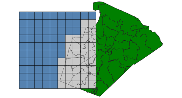 v.select
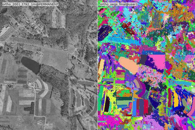 i.segment
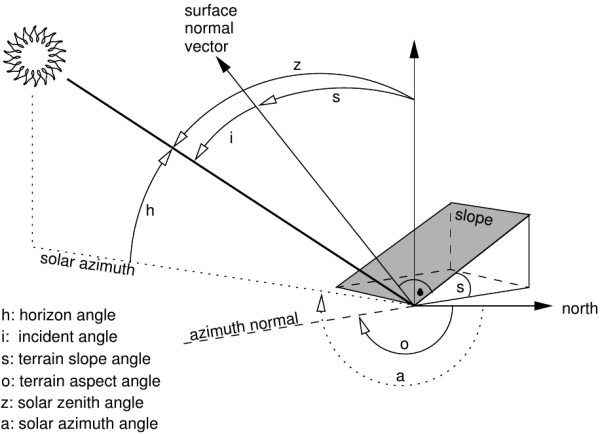 i.topo.corr
 r.carve
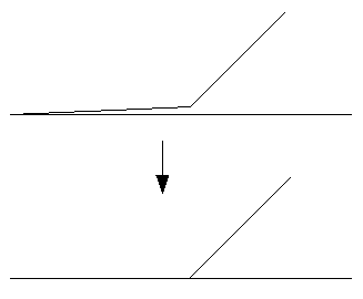 v.clean
 r.drain
 r3.flow
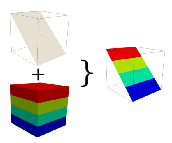 r3.cross.rast
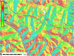 r.slope.aspect
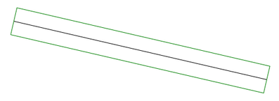 v.buffer
 r.slope.aspect
 r.li.mps
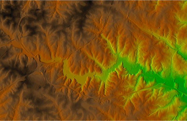 r.shade
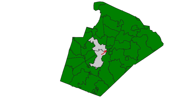 v.select
 r.thin
 d.correlate
 v.select
 r.surf.fractal
 v.hull
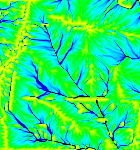 r.carve
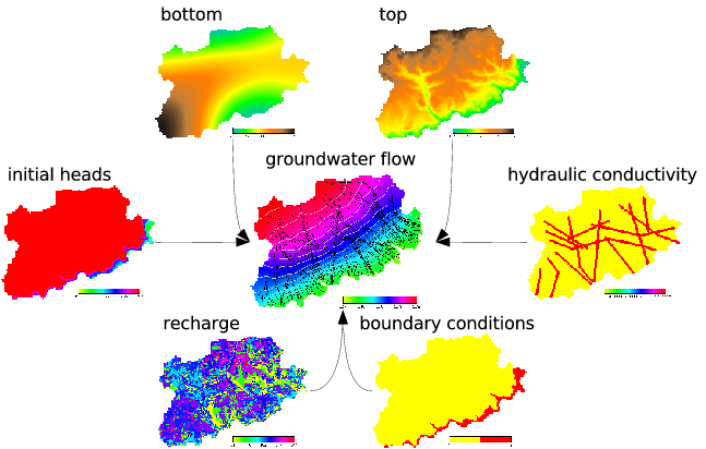 r.gwflow
 r.relief
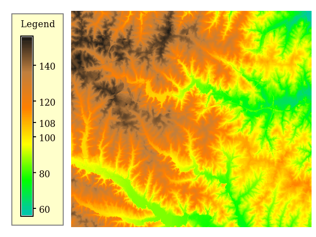 d.legend
 wxGUI.modules
 d.rast
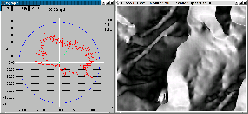 d.polar
 r.in.lidar
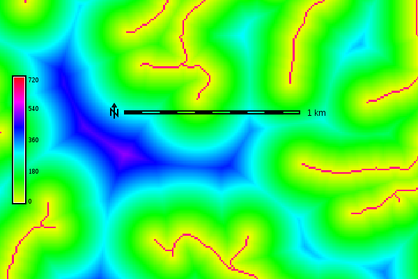 r.grow.distance
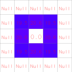 r.slope.aspect
 v.buffer
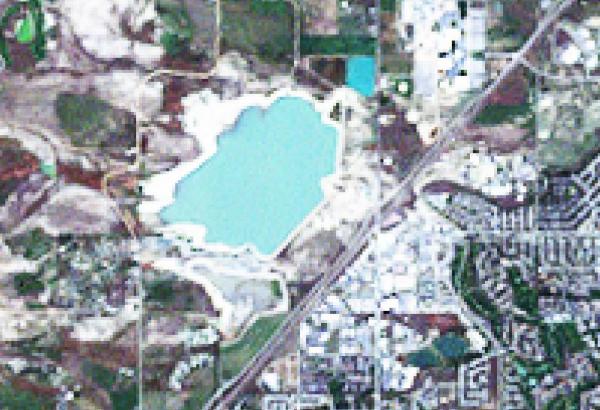 i.pansharpen
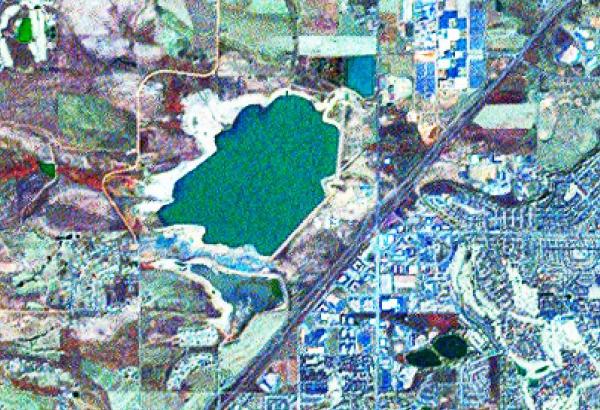 i.pansharpen
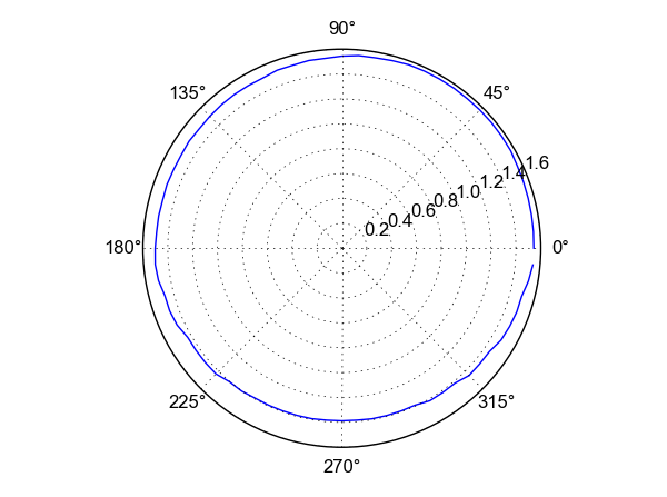 r.horizon
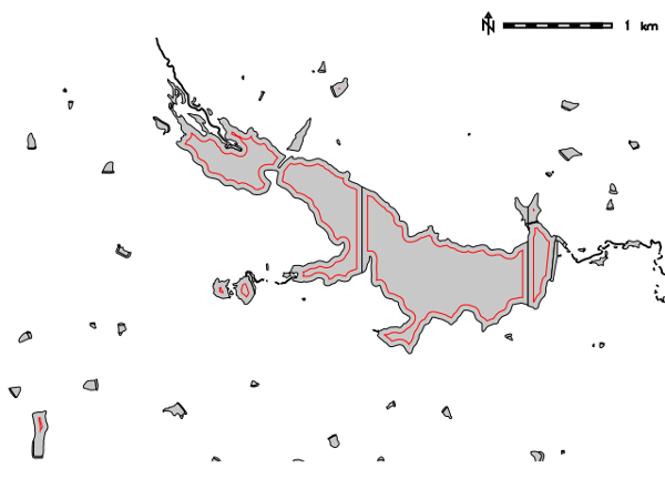 v.buffer
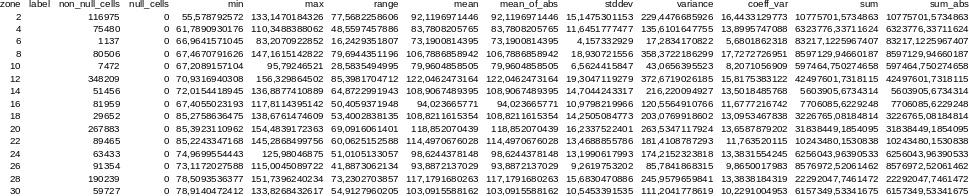 r.univar
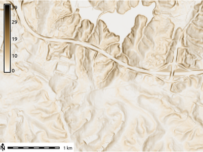 r.slope.aspect
 wxGUI.gmodeler
 wxGUI.gmodeler
 r.surf.random
 v.lidar.edgedetection
 r.li.shannon
 v.mkgrid
 r.stream.extract
Note: A new GRASS GIS stable version has been released: GRASS GIS 7.6, available here.
Updated manual page: here
Main index | Topics index | Keywords index | Graphical index | Full index
© 2003-2019 GRASS Development Team, GRASS GIS 7.2.4svn Reference Manual