NAME
r.mblend - Blends two rasters of different spatial resolution.KEYWORDS
raster, resolutionSYNOPSIS
r.mblend
r.mblend --helpr.mblend [-a] [high=string] [low=string] [output=string] [far_edge=value] [inter_points=value] [--help] [--verbose] [--quiet] [--ui]
Flags:
- -a
- Assign the average difference between the two rasters to the far edge (instead of zero).
- --help
- Print usage summary
- --verbose
- Verbose module output
- --quiet
- Quiet module output
- --ui
- Force launching GUI dialog
Parameters:
- high=string
- High resolution input raster.
- low=string
- Low resolution input raster.
- output=string
- Name of output raster.
- far_edge=value
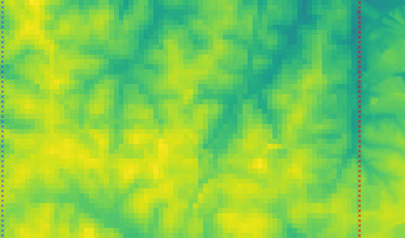
- Percentage of distance to high resolution raster used to determine far edge. Number between 0 and 100.
- Default: 95
- inter_points=value
- Number of points to use in interpolation. A higher number produces a smoother result but requires a lengthier computation.
- Default: 50
Table of contents
DESCRIPTION
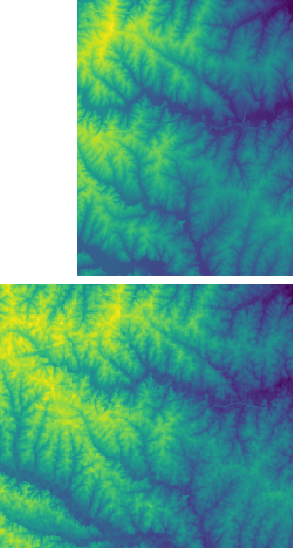
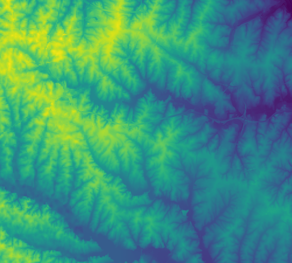
This module implements Mblend, a DEM merging method proposed by Leitão et al. (2016). It deals with cases where a study area is only partially covered by a high resolution DEM, with a coarser DEM available for the remainder (as in the case shown below). r.mblend merges the two DEMs, producing a smooth transition from the high resolution DEM to the low resolution DEM.


EXAMPLES
Merge the best_dem and other_dem raster maps from the current mapset:r.mblend high=best_dem low=other_dem output=result
r.mblend high=best_dem low=other_dem output=result far_edge=90
REFERENCES
J.P. Leitão, L.M. de Sousa, Towards the optimal fusion of high-resolution Digital Elevation Models for detailed urban flood assessment, Journal of Hydrology, Volume 561, June 2018, Pages 651-661, DOI: 10.1016/j.jhydrol.2018.04.043.L.M. de Sousa, J.P. Leitão, Improvements to DEM Merging with r.mblend. In Proceedings of the 4th International Conference on Geographical Information Systems Theory, Applications and Management - Volume 1: GISTAM, March 2018, pages 42-49. ISBN 978-989-758-294-3 DOI: 10.5220/0006672500420049.
J.P. Leitão, D. Prodanovic, C. Maksimovic, Improving merge methods for grid-based digital elevation models, Computers & Geosciences, Volume 88, March 2016, Pages 115-131, ISSN 0098-3004, DOI: 10.1016/j.cageo.2016.01.001.
SEE ALSO
To report bugs, propose new features or discuss the funcioning of this add-on, visit the project repository at GitHub.AUTHORS
Luís Moreira de SousaISRIC - World Soil Information
João Paulo Leitão
EAWAG: Swiss Federal Institute of Aquatic Science and Technology.
Last changed: $Date: 2018-05-10 11:24:24 +0200 (Thu, 10 May 2018) $
SOURCE CODE
Available at: r.mblend source code (history)
Main index | Raster index | Topics index | Keywords index | Graphical index | Full index
© 2003-2019 GRASS Development Team, GRASS GIS 7.4.5svn Reference Manual