Note: This document is for an older version of GRASS GIS that will be discontinued soon. You should upgrade, and read the current manual page.
NAME
d.background - Fills the graphics display frame with user defined color.KEYWORDS
display, graphics, background, fill, eraseSYNOPSIS
d.background
d.background --helpd.background color=name [--help] [--verbose] [--quiet] [--ui]
Flags:
- --help
- Print usage summary
- --verbose
- Verbose module output
- --quiet
- Quiet module output
- --ui
- Force launching GUI dialog
Parameters:
- color=name [required]
- Background color
- Either a standard color name or R:G:B triplet
Table of contents
DESCRIPTION
d.background will fill the image (or generally display monitor) with a single color specified by the color option.NOTES
d.background is a frontend to d.erase and shares its limitations. Namely, it does not work with the wx monitors such asd.mon wx0.
EXAMPLES
In this example, the streets_wake map from the North Carolina sample location is displayed with custom background color (specified using HTML hex color code) using cairo display monitor (creates file called map.png):g.region vector=streets_wake d.mon cairo d.background color=#ADEFD1 d.vect map=streets_wake color=#00203F legend_label="Streets" d.legend.vect -b at=70,30 title="Wake County"
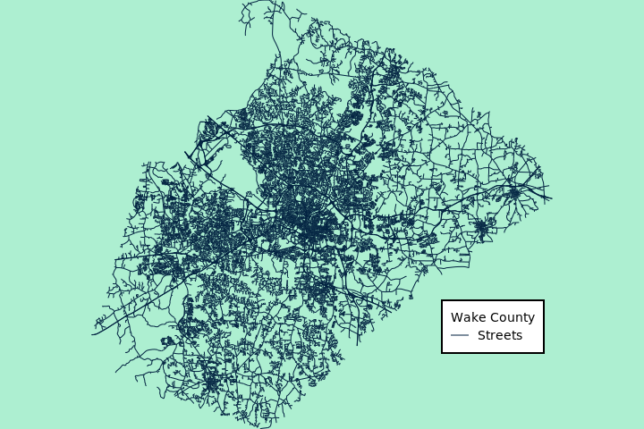
Figure: Wake County street network with custom background color (North Carolina sample dataset)
SEE ALSO
d.eraseAUTHOR
Vaclav Petras, NCSU GeoForAll LabSOURCE CODE
Available at: d.background source code (history)
Latest change: Tuesday Apr 19 14:30:11 2022 in commit: 8ab593f29df90919d55421f33a44846d20015525
Note: This document is for an older version of GRASS GIS that will be discontinued soon. You should upgrade, and read the current manual page.
Main index | Display index | Topics index | Keywords index | Graphical index | Full index
© 2003-2023 GRASS Development Team, GRASS GIS 8.2.2dev Reference Manual