
GRASS sample data
[ Standard sample datasets | Legacy datasets | Datasets for special topics | Global datasets ]
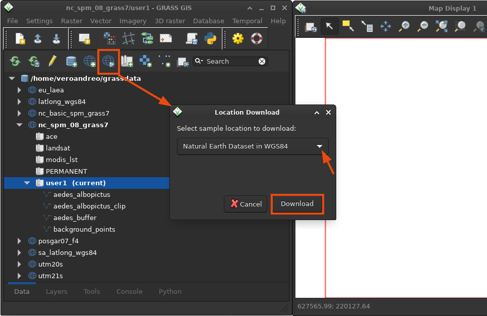
Standard sample datasets
GRASS datasets with standardized names that can be used in tutorials and documentation. Datasets include raster (elevation, landuse), vector (hydrology, administrative boundaries, roads, schools, hospitals, soils, and geology), and satellite data (Landsat 8).
Legacy datasets
Legacy package of geospatial data from the state of North Carolina (NC), USA, offering raster, vector, LiDAR and satellite data (EPSG: 3358). The description, list of maps, and a quick usage tutorial are available here. The legacy North Carolina dataset can be downloaded in two versions:
- North Carolina full dataset Download ZIP (159 MB) Download TAR.GZ (159 MB)
- North Carolina basic dataset Download ZIP (50 MB) Download TAR.GZ (50 MB)
GRASS dataset from the 1980th covering a part of Spearfish, South Dakota, USA, with raster, vector and point data. See the short documentation and soil data documentation (with legend for soils map).
Datasets for special topics
- Sentinel-2 reduced
Download ZIP (66 MB)
Six massively reduced Sentinel-2 scenes (SAFE format)
- LiDAR
Download zipped LAS (21 MB)
Download LAZ (6 MB)
Extra Raleigh (NC) LiDAR data file (note: height in feet): multi-return
- Climate
Download ZIP (690 MB)
North Carolina mapset with climatic data time series (nc_climate_spm_2000_2012). Unzip within North Carolina location, either full or basis datasets. See also the related tutorial
- Time series
Download ZIP (for G7, 2 MB)
Download ZIP (for G8, 2 MB)
MODIS Land Surface Temperature mapset (to unzip in NC location): MODIS LST raster time series (MOD11B3, 6km, monthly)
- Data for import
Download ZIP files
Selected North Carolina maps in common GIS formats (SHAPE, KML, GeoTIFF) including RGB orthophoto
- 3D / voxel
Download ZIP (8.9 MB)
Complete Slovakia 3D precipitation location: Slovakia 3D precipitation voxel dataset
Global datasets
Based on the Natural Earth data collection, a GRASS project with global background maps is available in the World Geodetic System 1984 (WGS84). It is provided in two versions, a smaller, basic one and a more comprehensive collection with additional hydrological and ecological data:
In the Global datasets wiki, the community shares information on other open datasets all over the globe and how they can be imported into GRASS.