Google Summer of Code 2024
Three GSoC students will be contributing to GRASS GIS this summer!

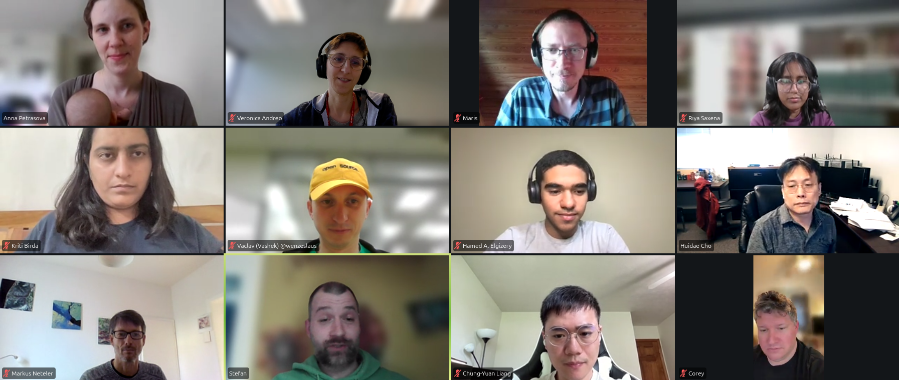
We are thrilled to announce that the GRASS GIS project has three Google Summer of Code (GSoC) students this year! They will be working together with their mentors on enhancing different GRASS tools and capabilities.
Let’s go briefly through some details on each project and their forseen broader impacts.
Improve GRASS user experience in Jupyter Notebook
- Student: Riya Saxena
- Mentors: Anna Petrasova, Corey White
The python package grass.jupyter
was developed during GSoC 2021 to simplify running GRASS GIS from Jupyter Notebooks
and displaying data.
This project aims to enhance the user experience by incorporating new features.
These enhancements will include increased interactivity for displayed data, enabling
the querying of raster and vector attributes, drawing a box to set the computational
region, and creating simple geometries to add as GRASS vector maps. The InteractiveMap
class will support custom projections to accelerate the visualization of large maps,
while parallelization will be implemented to expedite rendering in the SeriesMap
and TimeseriesMap classes.

Add JSON output to different tools in C
- Student: Kriti Birda
- Mentors: Corey White, Vaclav Petras
Most GRASS GIS tools currently produce custom human-readable outputs in text format, but they could greatly benefit from adopting a more portable and widely recognized data format such as JSON. This project aims to expand the capabilities of these tools by adding JSON as an alternative output format. The layout of the JSON format will be optimized specifically for easy integration with Pandas, a popular Python library for data analysis, thus facilitating seamless integration into Python workflows. This initiative will enhance the versatility and interoperability of GRASS GIS tools within modern data science environments.
Add EODAG support to GRASS GIS
- Student: Hamed Elgizery
- Mentors: Luca DeLucchi, Veronica Andreo, Stefan Bluementrath
GRASS GIS currently offers several modules for downloading satellite data: i.sentinel.download, i.landsat.download, i.modis.download. However, these modules use different libraries, and some are no longer maintained. This project aims to implement the use of EODAG as the backend for these tools, reducing the maintenance burden associated with managing multiple API updates. Additionally, leveraging EODAG’s generalized API, which abstracts various data providers, has the potential to significantly expand the supported imagery data within GRASS GIS.
Students, congratulations on being selected! 🤩 Mentors, thank you for your time and expertise! 🙌 Everyone, stay tuned and keep an eye on the mailing list, chat channel and repo! Testing and feedback will be mostly welcome!
Let the journey begin! Happy coding!
Anna Petrasova and the GRASS Development Team