GIS Library - Projection limit functions. More...
#include <grass/gis.h>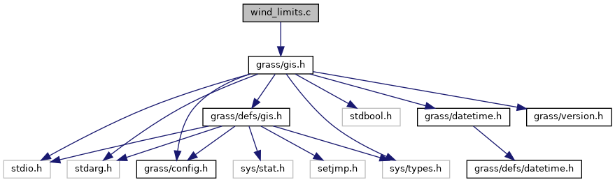
Go to the source code of this file.
Functions | |
| int | G_limit_east (double *east, int proj) |
| Function not yet implemented... | |
| int | G_limit_west (double *west, int proj) |
| Function not yet implemented... | |
| int | G_limit_north (double *north, int proj) |
| Limit north (y) coordinate. | |
| int | G_limit_south (double *south, int proj) |
| Limit south (y) coordinate. | |
Detailed Description
GIS Library - Projection limit functions.
SPDX-FileCopyrightText: 2001-2014 GRASS Development Team SPDX-License-Identifier: GPL-2.0-or-later
- Date
- 1999-2014
Definition in file wind_limits.c.
Function Documentation
◆ G_limit_east()
Function not yet implemented...
If the projection has absolute limits (like lat/lon), then this routine modifies the input coordinate to be within the limit.
Note: Function not yet implemented.
- Parameters
-
[in] east [in] proj
- Returns
- 1 no change
- 0 changed
Definition at line 30 of file wind_limits.c.
◆ G_limit_north()
Limit north (y) coordinate.
If the projection has absolute limits (like lat/lon), then this routine modifies the input coordinate to be within the limit.
- Parameters
-
[in,out] north north coordinate [in] proj projection id
- Returns
- 1 no change
- 0 changed
Definition at line 66 of file wind_limits.c.
References PROJECTION_LL.
◆ G_limit_south()
Limit south (y) coordinate.
If the projection has absolute limits (like lat/lon), then this routine modifies the input coordinate to be within the limit.
- Parameters
-
[in] south south coordinate [in] proj projection id
- Returns
- 1 no change
- 0 changed
Definition at line 94 of file wind_limits.c.
References PROJECTION_LL.
◆ G_limit_west()
Function not yet implemented...
If the projection has absolute limits (like lat/lon), then this routine modifies the input coordinate to be within the limit.
Note: Function not yet implemented.
- Parameters
-
[in] west [in] proj
- Returns
- 1 no change
- 0 changed
Definition at line 49 of file wind_limits.c.