What is GRASS?

GRASS, Geographic Resources Analysis Support System, is a powerful computational engine for vector and raster data management, geoprocessing, spatial modelling and visualization.
GRASS is Free and Open Source Software released under the terms of the GNU General Public License (GPL >= v2). GRASS is a project of the Open Source Geospatial Foundation (OSGeo) and is fiscally sponsored by NumFOCUS.
General presentation
Main features
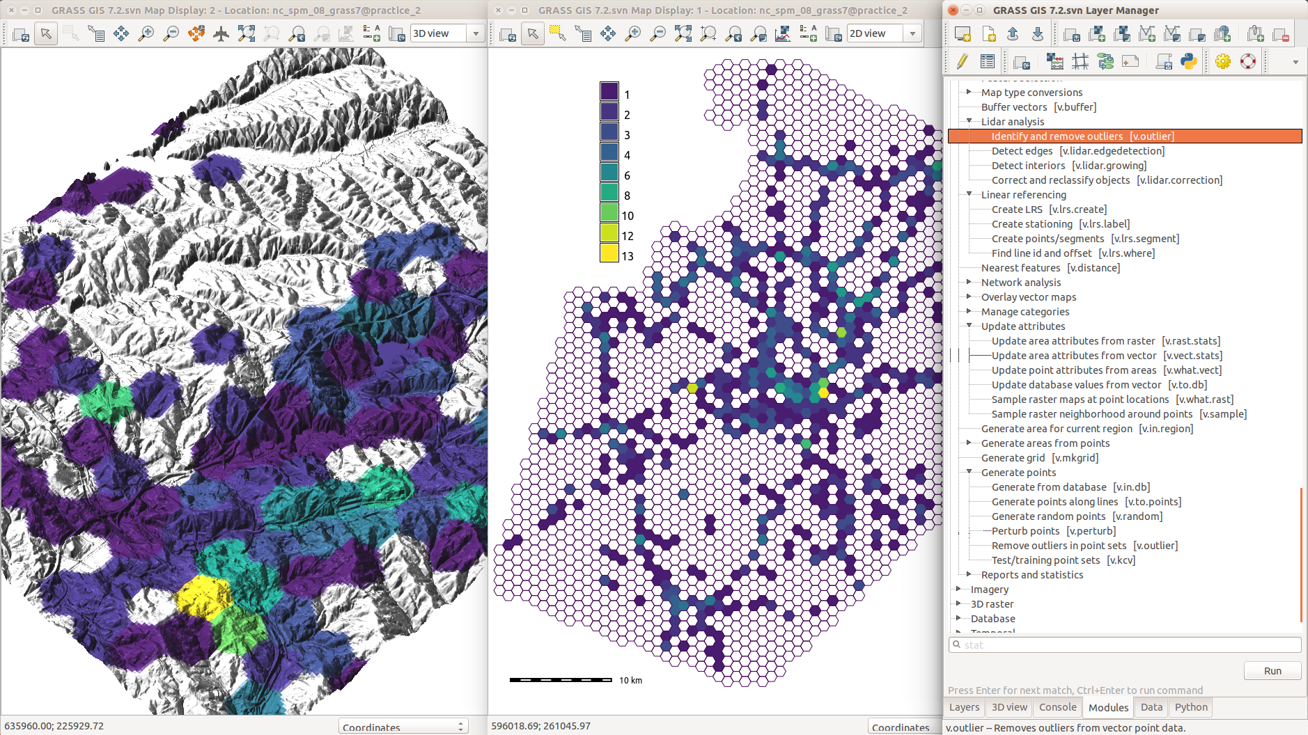
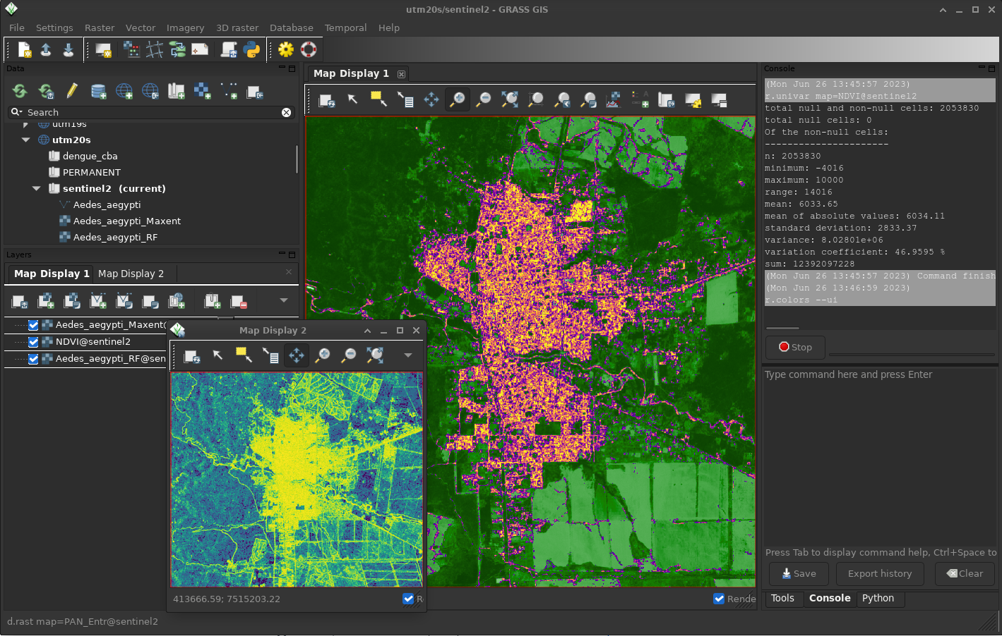
GRASS runs on Linux, Mac and Windows. It comes with both an intuitive graphical user interface (GUI) and a command line syntax useful for automation and production.
GRASS contains over 500 modules to process and render geographic data. The software allows to manipulate a variety of raster, vector and 3D formats, and run simple to advanced spatial analysis and modeling. GRASS can connect to spatial databases but also interface with a variety of third-party systems and libraries. See the Interfaces section below for details.
Some selected relevant features are:
- Support for nearly all common GIS file formats through GDAL-OGR library.
- Raster analysis: map algebra, interpolation, masking, landscape analysis.
- 3D raster (voxel) analysis: 3D map algebra, 3D interpolation, 3D visualization.
- SQL: database interfaces to PostgreSQL, SQLite, etc.
- Geo-coding of raster and vector maps.
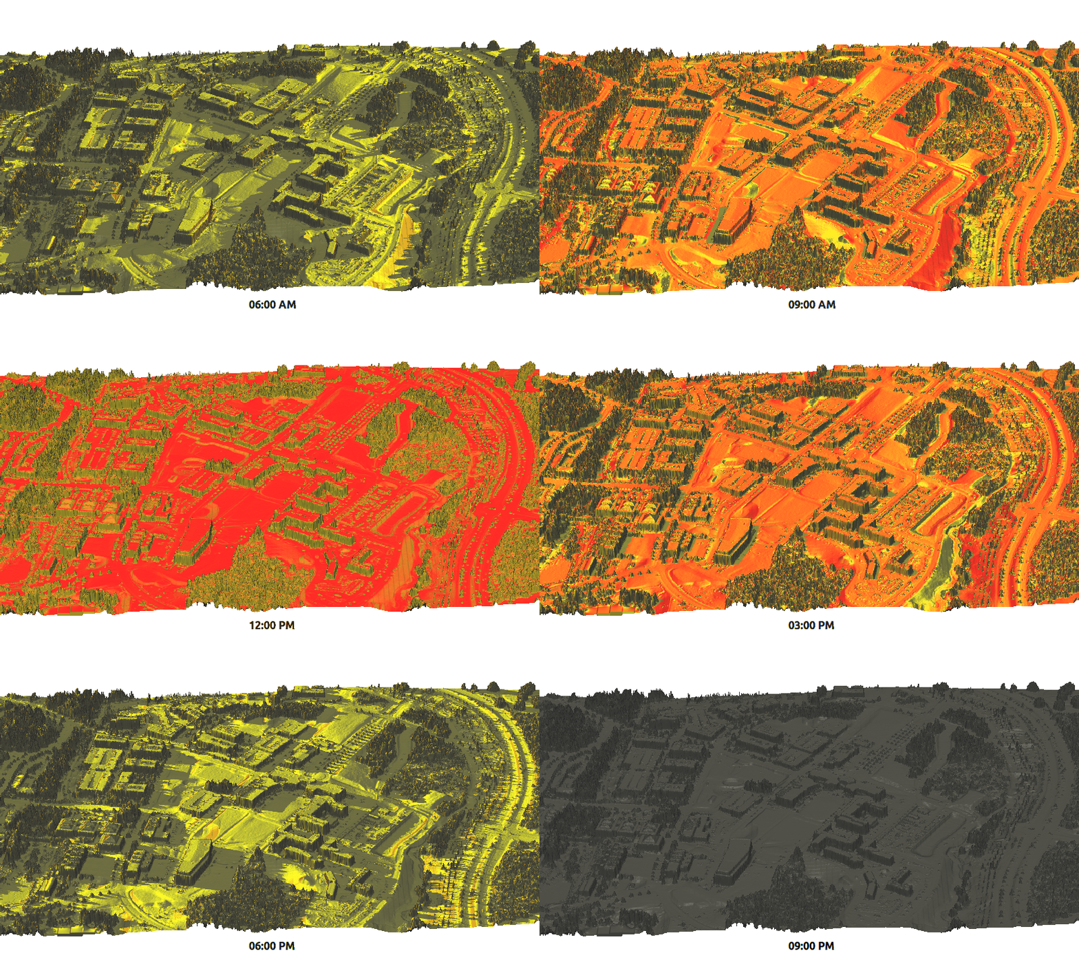
- Point cloud analysis: LiDAR, interpolation.
- Terrain analysis: contour and surface generation, cost-path and slope-aspect analysis, hydrological tools.
- Vector analysis: topology corrections and generalization, buffer, overlays, network analysis.
- Temporal framework: support for raster and vector time series management and analysis, big spatio-temporal environmental data.
- Image processing: aerial, UAV and satellite data (MODIS, Landsat, Sentinel, etc.), supervised and unsupervised classification, full Object Based Image Analysis (OBIA) chain.
- Spatial statistics: correlation and covariance analysis, regression, zonal statistics.
Interfaces
GRASS has various interfaces:
- Graphical User Interface (GUI) Introduction.
- Command Line Introduction
- C API for programming.
- GRASS Python Introduction.
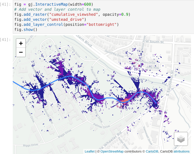
- Jupyter Notebooks.
- Web interface through WPS servers.
- QGIS provides two different ways to run GRASS modules: Processing toolbox and the GRASS plugin.
- R provides an interface to GRASS through the package rgrass.
- It is also possible to try GRASS online!
Addons to extend GRASS functionality
GRASS capabilities are significantly increased by an impressive list of extensions or addons. These modules are contributed by users or developers but are not yet part of the standard distribution. There are currently more than 300 extensions in the official GRASS Addons repo and many others in the wild to perform the most varied type of tasks.
Have a look at the full list of addons manual pages to get an idea. If you don’t find what you need, maybe you can develop your own add-on then. Read here to learn how to install them.