Recap from the OSGeo Code Sprint in Bonn 2018
Recap from the OSGeo Code Sprint in Bonn 2018
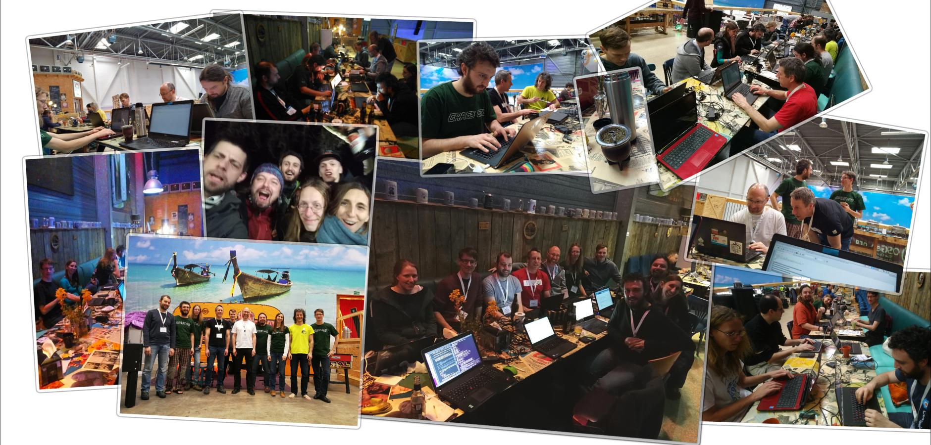
The GRASS GIS team members met at the BaseCamp in Bonn for the OSGeo code sprint, edition 2018
A couple of weeks ago, from March 18 until 25, numerous GRASS GIS team members met at the "BaseCamp" in Bonn for the OSGeo code sprint, edition 2018. As usual it was a pleasure and joy to meet again in person, with others via videocall, through IRC chat or email. For some it was the first time to personally come together after even years only virtually. We especially enjoyed to stay together with 80+ more members of the OSGeo family.

So, what did we do in a nutshell?
The hot topics on our agenda were the migration of the GRASS GIS project
to git, as well as the design and content of the new website,
and different options for a new GUI startup. Concerning git, we will
follow other OSGeo projects such as GDAL in their
recent experience of migration. With folks from other OSGeo projects
like PDAL we discussed on further integration.
One of the most remarkable achievements of our sprint was the
implementation of PROJ 5 support, a fresh major release after
decades. Adding PROJ 5 support to GRASS GIS was a massive and impressive
job, that makes GRASS GIS the first open source GIS providing support
for this new library. The graphical user interface wxGUI also received
a fair share of enhancements, e.g. a new graphical widget for SQL
WHERE parameters in all related modules and new options for plotting
time series. Moreover, new modules for the management of spectral
signatures were added to the imagery family. Also the temporal
algebra got some long awaited improvements.
Heavy work was done in reporting current issues, proposing patches,
testing and fixing bugs. We even got contributions from a former
"Google Code In" highschool student and "Google Summer of Code"
applicants. Furthermore, new artificial neural network modules that
are in the pipeline received quite some work and testing.
Certainly we did not forget about documentation and translation
of GRASS GIS messages to other languages, as they received some
attention. We added examples to manual pages and wikis, as well as
translations into Italian and Spanish via Transifex.
All in all, 200 changesets in trac (including backports & various
other changes) fueled by 130+ beers, 10+ liters of mate, uncountable
coffees and a lot of fun! Not so bad!
The team’s commitment is challenging, truely long-term and fecund. GRASS
GIS is bridging advanced technologies, the free open source realm and
the global geospatial community.
Join and enjoy GRASS GIS!
https://grass.osgeo.org/
For the full and detailed list of contributions, please see:
https://grasswiki.osgeo.org/wiki/Talk:GRASS_Community_Sprint_Bonn_2018