Bringing advanced geospatial technologies to the world

Bringing advanced geospatial technologies to the world
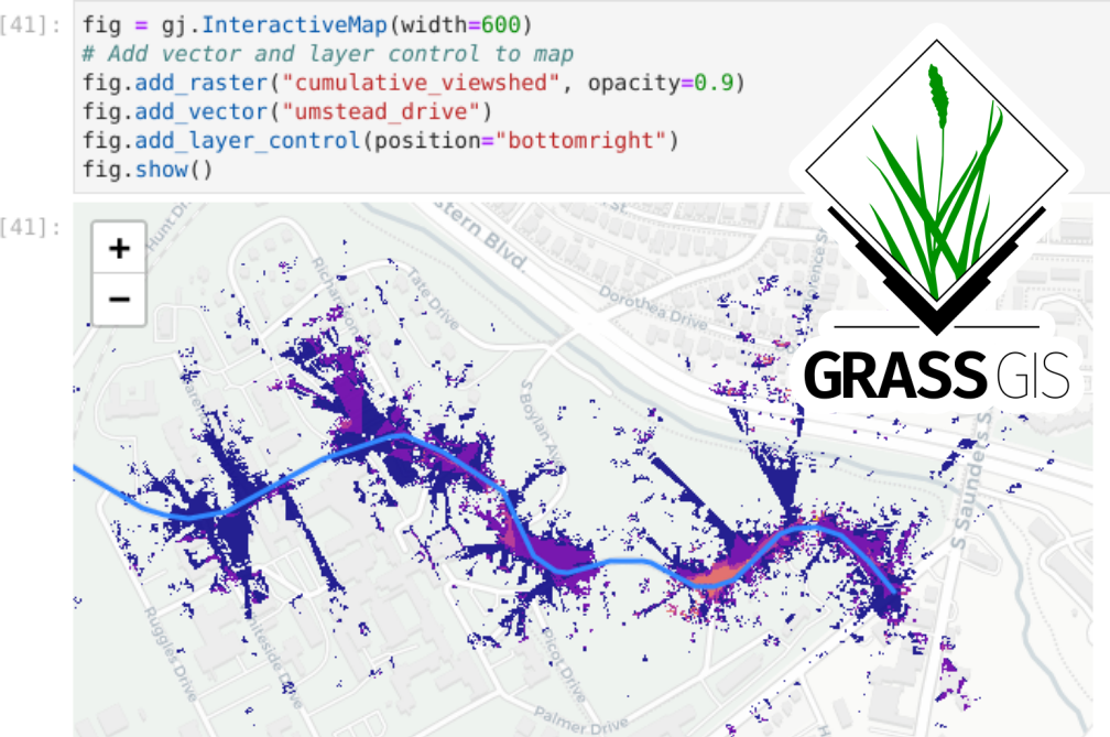
GRASS GIS offers powerful raster, vector, and geospatial processing engines in a single integrated software suite. It includes tools for terrain and ecosystem modeling, hydrology, visualization of raster and vector data, management and analysis of geospatial data, and the processing of satellite and aerial imagery. It comes with a temporal framework for advanced time series processing and a Python API for rapid geospatial programming. GRASS GIS has been optimized for performance and large geospatial data analysis.